Inish Turk
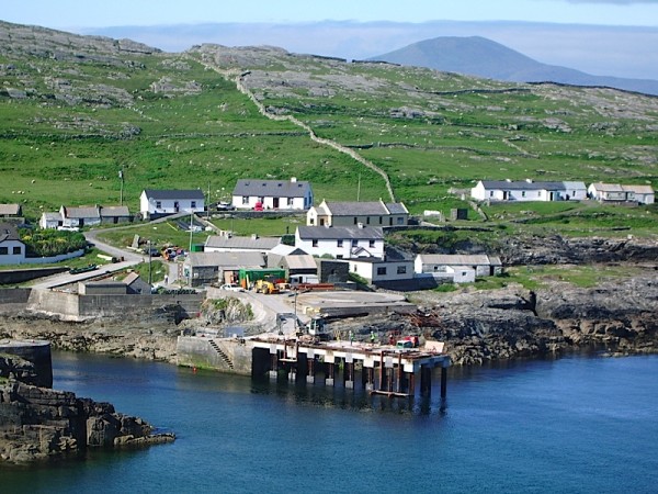
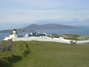
Inishturk, which translates as ‘Island of the Wild Boar’ is a small beautiful island, 5km x 2.5km, located 9 miles (14.5km) off the west coast of Mayo. It rises boldly from the wild North Atlantic in wall-like cliffs to the northwest and steep hills to the north. on which stands the ruins of the old signal tower 722 ft above sea level.
This tranquil Island, sits atop cliffs and steep hills that drop down to the Atlantic. Inishturk is only 5km by 2.5km in size and yet it is rich in archaeological sites, such as the old Napoleonic Signal Tower.
Inhabited on and off since 4000 BC, the island’s rugged pathways and trails offer hill walkers plenty of opportunities to explore. Exotic deep sea diving and boat trips to the neighbouring islands are only a chat away and can be organised by the boatmen or through the B&Bs.
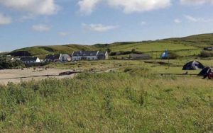
On the eastern side on Inishturk are the secluded Tranaun and Curran beaches, with fantastic clear blue waters, ideal picnic and swimming spots after a hike. Watch the sun go down on what locals claim to be the best views in Europe! For the full island experience, round the day off with a pint of porter and an hour or two of set dancing in the island’s lively community centre.
Places of interest on Inish Turk
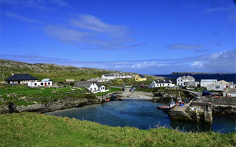
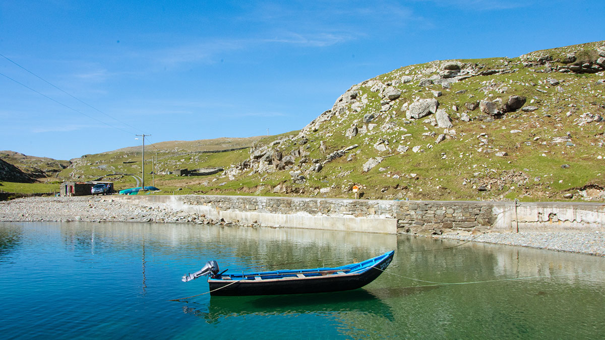
Port Dun Harbour contains the remains of a 9th century Fort or Dun and has the only natural lagoon on any of the islands of Ireland. Gold was previously found here by the Norse men during their raids. Due to its narrow and concealed entrance Port Dun is only accessible by small boats and as a natural lagoon it makes for an idyllic location for swimming. This harbor is often used by local fishermen with their currachs throughout the fishing season.
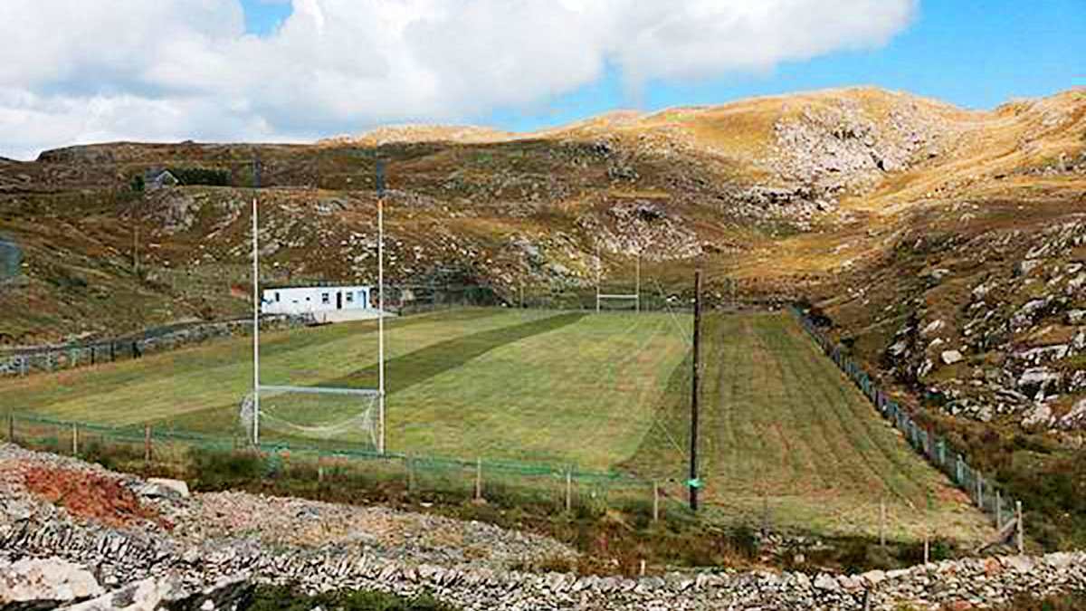
This highly unique football pitch is set amongst a valley of rock making the experience of playing on it quite surreal. It has featured on many television advertisements along with advertisements for making Ireland a visiting destination by tourism groups.
This community pitch is available for both private training sessions and team building exercises.
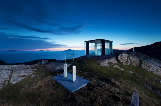
This remarkable monument was commissioned in 2013 and was a joint project between Mayo County Council and Professor Travis Price of the Catholic University of America.
Legend has it that if a neighbour or loved one was emigrating, one would pick up a coal from the fire with the tongs and give it to the person due to emigrate for them to place it in their fire. This was seen as a promise they would return again one day and take back the coal to rekindle their home fire.
It is a meaningful nod to the diaspora of Inishturk and that of Ireland as a whole.
The tale of the tongs also makes for a remarkable viewing and resting point on the loop walk with the breath taking views taking in many miles of coastline and the Atlantic Ocean.
The signal tower was built during 1805-1806 by local labour and cost around 600 pound. There were 82 towers built finishing on Malin Head no 82. Inishturk was no 57. The system used was a heliograph or steel plate polished to reflect the rays of the sun to passing ships, the first morse code to discourage Napoleon.
The old church up on the hill was in use in the penal times dating back to the sixteenth century for the west end with the east end added in the famine times. The roof was taken to repair a church roof on the mainland in 1877.
The Graveyard was a Pagan centre before it was used as a graveyard as the 1838 map shows a stone circle indicating its pagan origins.The little oratory is in the shape of a coffin and a holed stone for healing and marriage rituals. The oratory had a corbeled roof originally.
Accommodation on Inishturk
